El Hierro: the island of the old zero meridian
The smallest and westernmost of the Canaries, El Hierro served for centuries as the reference point for cartography, as the zero-degree meridian before Greenwich was adopted.
A rental car remains necessary to cross this ancient meridian zero island.
At the Mirador de la Peña, designed by artist César Manrique, a panoramic restaurant overlooks the valley of the Gulf, formed after the collapse of an ancient volcanic wall.
Heading west, one reaches El Sabinar, where century-old junipers grow bent almost horizontally by the relentless Atlantic wind.
At the island's edge, Punta de Orchilla was considered for centuries—from Ptolemy until the adoption of Greenwich in 1884—the zero reference point for calculating longitudes on European maps.
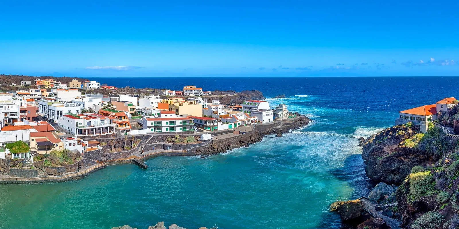
Towards evening, the fishermen's village of La Restinga, today a destination for divers for its protected marine reserve, closes the day on the sea.
The junipers at El Sabinar don't grow twisted by genetic choice but by the wind that bends them from youth: trees transplanted elsewhere, in shelter, tend to straighten out over a few years.
Punta de Orchilla lost its cartographic role long ago, but a small monument still reminds visitors today that for centuries European maps measured the world starting from this very rock.
Related articles
You might also like...
La Palma: the beautiful island of the Canaries
Tenerife: from Teide to the old town of La Laguna
Entebbe International Airport: where to stay, areas and recommended hotels
Catumbela Airport: where to stay, areas and recommended hotels
New York JFK: how to navigate arrival in the Big Apple