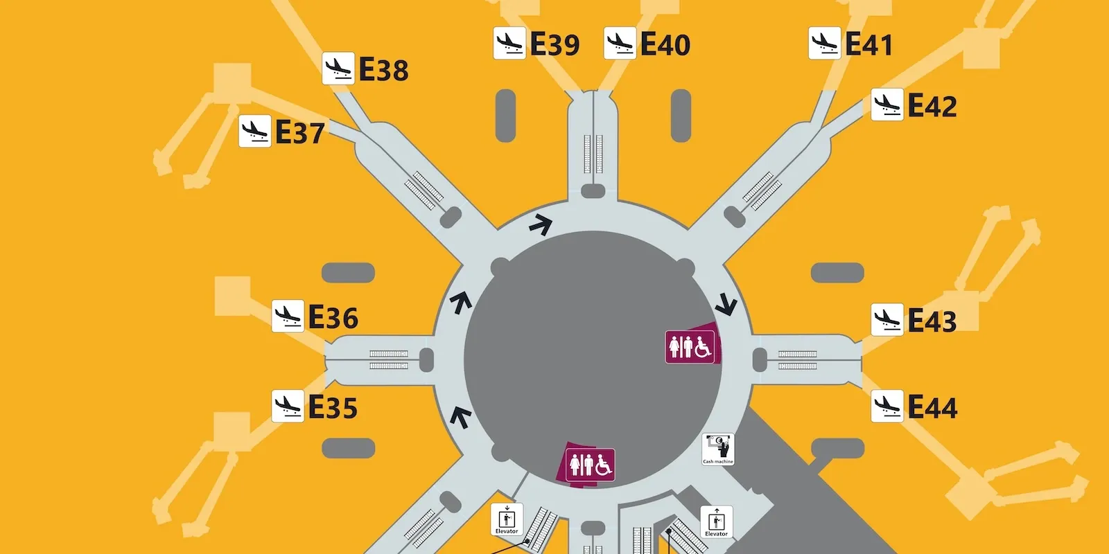
Airport maps: navigate the terminals like a pro
In Italy, at the moment, Google Maps offers indoor mapping only for Bergamo Orio al Serio and Venice Marco Polo airports: elsewhere, including Fiumicino, navigating the terminals requires the airport's official app, not Google's. Knowing which tool actually covers your airport, before even searching for your gate, avoids most of the confusion during peak hours.
Official apps vs. Google Maps: who covers what
At Fiumicino, Aeroporti di Roma's app integrates a wayfinding feature that traces the path step by step from check-in to gate, using indoor positioning where satellite GPS doesn't reach. Google Maps, on the other hand, has activated internal mapping only in certain selected international hubs - among Italian airports, so far, only Bergamo and Venice - so the choice between the two apps depends precisely on which airport you're passing through.
Terminal change: airside or outside security controls
A detail that drastically changes your time strategy is whether moving between two terminals requires an airside shuttle (without leaving the controlled area) or whether you instead need to exit and go through security controls again from scratch. The official app's map usually indicates this difference before you even reach the split between the two paths; our guide on terminal changes during a layover covers the most common cases.
Security checkpoint waiting times
Several airport apps also show a real-time estimate of waiting times at security checkpoints, useful for choosing the least crowded lane instead of joining the first visible line. Not all airports provide this data with the same accuracy, but where it's available it's always worth checking before heading to the document/ID check.
Download the airport map before landing
Downloading the destination airport's map while still in flight - when onboard Wi-Fi or data is still available - allows you to immediately identify the right exit for transfers or the car rental desk, without having to wander between signs right after landing.
If your airport isn't among those covered by Google Maps indoor, look for the airport's official app right away instead of insisting on Google: almost all major hubs have a dedicated one, and it's almost always more accurate than a generic map even where Google Maps theoretically reaches.
You might also like...

Dubai Airport: luxury and transit in the desert

Pacific Coastal Airlines: 18 Destinations on the British Columbia Coast

TUI fly Deutschland: How the TUI Group's Holiday Flights Work

Wi-Fi and charging at the airport: the digital survival guide

Lisbon Airport lounges: which one to choose between TAP and ANA